jasa pemetaan

  • Home
  • Services
  • Gallery
  • Contact

Gallery

Gallery

Snapshots of our aerial mapping and E-STDB projects in action.
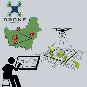
An aerial view of agricultural fields, with parallel rows defining the landscape. Two distinct sections create a diagonal divide, with varying shades of green and brown, indicating differences in crop types or soil conditions.
A drone is flying in the air with its rotors clearly visible. It appears to be metallic with a sleek, modern design. The background is blurred, suggesting the photo was taken with a wide aperture, emphasizing the drone as the focal point.
An aerial view displaying a landscape covered with scattered clouds. The terrain below appears to be mountainous, with a series of ridges and valleys. The image is in black and white, highlighting contrasts between clouds and land.
A drone is flying in the center of a clear sky. The drone is white with a camera attached to its underside, indicating it might be used for aerial photography.
An aerial view of vast agricultural fields showing distinct linear patterns. The landscape is divided into two sections, one primarily green and the other brownish, indicating different crop types or stages of cultivation.

Land Survey

Aerial Photos

High-resolution aerial images produced by our skilled team to detail every contour and feature with precision.

E-STDB Maps

Custom E-STDB maps crafted to support precise planning and development, tailored to client needs.

Project Sites

Snapshots from various project locations, highlighting our adaptable approach to different terrains.

Client Results

Real outcomes reflecting how our precise mapping contributes to client success and project clarity.

Menu

  • Home
  • Services
  • Gallery
  • Contact

Kontak

email@email.com
+123456789

Sosial

  • Facebook
  • Instagram
  • X
  • TikTok

Subscribe to our newsletter

© 2025 jasa pemetaan. All rights reserved.